Where To Watch Out For Deer When Driving This Autumn
Share article:
Article by:
Andrea Barden, Marketing & Fundraising Executive, British Deer Society
Photo by: Felix Bellion @fbimages
DEER ON ROADS IN THE AUTUMN
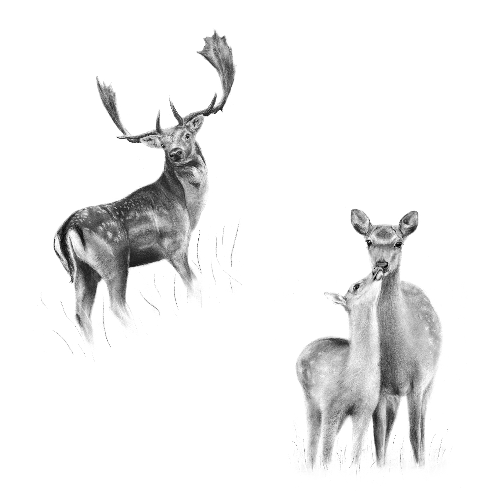
Autumn marks the awe-inspiring rutting (mating) season for our 3 largest species of deer in the UK – Red, Fallow and Sika. Sadly the rut also brings with it a marked spike in the risk of deer vehicle collisions (DVCs) through October and November – particularly with Fallow deer on motorways1. With female Fallow (does) weighing up to 56kg and males (bucks) weighing up to a massive 93kg, hitting one at 60mph is not going to end well.
Knowing you need to be more cautious for deer on the road from now until late November is extremely useful, but also knowing where to be extra vigilant in your local area could also greatly help reduce your risk of a collision.
Do you know what to do if you hit a deer on the road?
Download and print our free Drive Deer Aware leaflet to learn what to do. We recommend keeping it in your glovebox as a useful reference in case of an incident with a deer.
Find out where you need to watch out for deer on the road in your area
UK DEER VEHICLE COLLISION (DVC) HOTSPOT MAPS
Deer vehicle collision (DVC) hotspot maps show areas where accidents involving a deer on the road tend to be more common.
DVC hotspot maps are an essential tool in helping increase driver awareness about where to be careful of deer on our roads which in turn helps to prevent collisions happening at all.
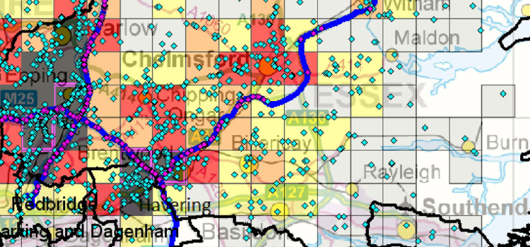
MAPS FOR ENGLAND & WALES
The British Deer Society (BDS) and Highways England, through the deer collisions research project2, have produced a series of DVC hotspot maps for England and Wales.
These maps are currently based on data collected between 2010-2019.
To find and download the hotspot map for your local area and for other areas you, your family, friends or work colleagues frequently drive in, please visit this page.
MAPS FOR SCOTLAND
NatureScot have recently conducted an extensive project to understand and analyse deer vehicle collisions in Scotland.
As part of this work an extensive report was produced that includes an overview hotspot map of deer road accident across Scotland and more detailed maps of the 10 worst locations (blackspots) for DVCs in Scotland.
MAPS FOR NORTHERN IRELAND
As far as the British Deer Society (BDS) is aware there are currently no deer vehicle collision hotspot maps available for Northern Ireland.
Through the on-going development of a DVC recording scheme via the Drive Deer Aware website, in combination with our work to raise funds towards further DVC research the BDS hope to be able to provide maps for Northern Ireland at some point in the future.
CAN YOU HELP CHANGE THE STORY OF DEER ON OUR ROADS?
Through increasing driver awareness, encouraging more incident reporting and supporting the introduction of more mitigation measures we can hopefully change the story on deer vehicle collisions in the UK.
Now you can get involved supporting this work thanks to our Change the Story campaign.
If you’re interested in learning more about autumn deer vehicle collisions, please see our article “Changing the story on deer vehicle collisions (DVCs) in the UK” on Countryside Jobs.
References:
- Langbein, J. 2011. Monitoring reported deer road casualties and related accidents in England to 2010. Report to The Highways Agency. Deer Initiative Research Report 2011/3. Available here.
- National Deer Vehicle Collisions Research Project.